
Herrera topographic map
Interactive map
Click on the map to display elevation.
About this map
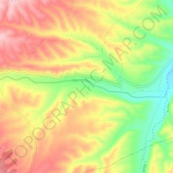
Name: Herrera topographic map, elevation, terrain.
Location: Herrera, Herrera de los Navarros, Zaragoza, Aragón, España (41.20386 -1.07900 41.21001 -1.01551)
Average elevation: 2,677 ft
Minimum elevation: 2,349 ft
Maximum elevation: 2,986 ft