
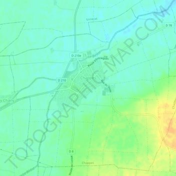
Chappes topographic map
Interactive map
Click on the map to display elevation.
About this map
Name: Chappes topographic map, elevation, terrain.
Average elevation: 1,037 ft
Minimum elevation: 1,001 ft
Maximum elevation: 1,102 ft
Other topographic maps
Click on a map to view its topography, its elevation and its terrain.
Chappes
Frankrijk > Auvergne-Rhône-Alpes > Chappes
Chappes, Montluçon, Allier, Auvergne-Rhône-Alpes, Metropolitaans Frankrijk, 03390, Frankrijk
Average elevation: 1,175 ft