
Panj topographic map
Interactive map
Click on the map to display elevation.
About this map
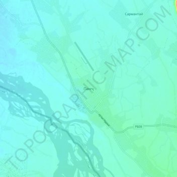
Name: Panj topographic map, elevation, terrain.
Location: Panj, Panj District, Khatlon Region, Tajikistan (37.20230 69.05471 37.28230 69.13471)
Average elevation: 1,188 ft
Minimum elevation: 1,148 ft
Maximum elevation: 1,496 ft