
Pettigrew topographic map
Interactive map
Click on the map to display elevation.
About this map
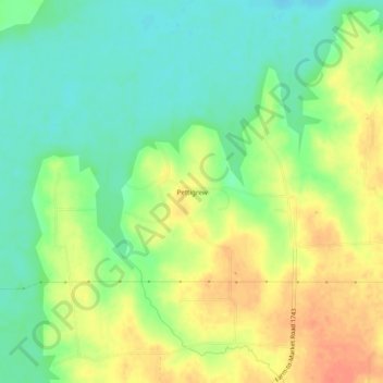
Name: Pettigrew topographic map, elevation, terrain.
Location: Pettigrew, Fannin County, Texas, United States (33.62566 -96.03942 33.66566 -95.99942)
Average elevation: 554 ft
Minimum elevation: 486 ft
Maximum elevation: 636 ft