
Hazen topographic map
Interactive map
Click on the map to display elevation.
About this map
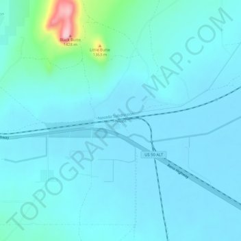
Name: Hazen topographic map, elevation, terrain.
Location: Hazen, Churchill County, Nevada, États-Unis d'Amérique (39.54519 -119.06627 39.58519 -119.02627)
Average elevation: 4,078 ft
Minimum elevation: 3,999 ft
Maximum elevation: 4,741 ft