
Stein topographic map
Interactive map
Click on the map to display elevation.
About this map
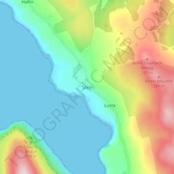
Name: Stein topographic map, elevation, terrain.
Location: Stein, Highland, Schotland, IV55 8GA, Verenigd Koninkrijk (57.49752 -6.59141 57.53752 -6.55141)
Average elevation: 322 ft
Minimum elevation: 0 ft
Maximum elevation: 997 ft