
Marchwiel topographic map
Interactive map
Click on the map to display elevation.
About this map
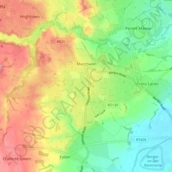
Name: Marchwiel topographic map, elevation, terrain.
Location: Marchwiel, Wrexham, Wales, United Kingdom (52.99712 -3.01565 53.03697 -2.93301)
Average elevation: 177 ft
Minimum elevation: 46 ft
Maximum elevation: 328 ft