
Walzenhausen topographic map
Interactive map
Click on the map to display elevation.
About this map
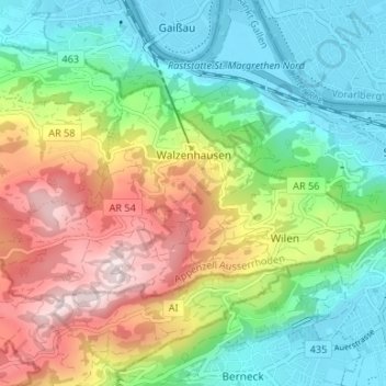
Name: Walzenhausen topographic map, elevation, terrain.
Location: Walzenhausen, Vorderland, Appenzell Ausserrhoden, 9428, Schweiz (47.43361 9.56454 47.45877 9.63096)
Average elevation: 1,962 ft
Minimum elevation: 1,302 ft
Maximum elevation: 3,107 ft