
Hacienda Los Laureles topographic map
Interactive map
Click on the map to display elevation.
About this map
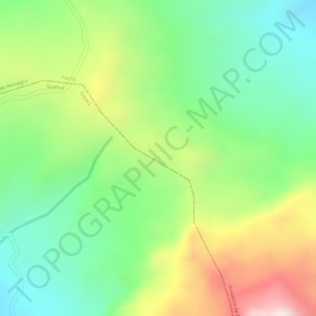
Name: Hacienda Los Laureles topographic map, elevation, terrain.
Average elevation: 7,523 ft
Minimum elevation: 6,814 ft
Maximum elevation: 8,560 ft