
Auburn topographic map
Interactive map
Click on the map to display elevation.
About this map
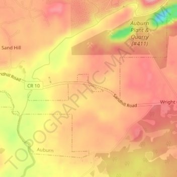
Name: Auburn topographic map, elevation, terrain.
Location: Auburn, Lee County, Alabama, États-Unis d'Amérique (32.53479 -85.48815 32.53629 -85.48527)
Average elevation: 456 ft
Minimum elevation: 164 ft
Maximum elevation: 577 ft