
Zellik topographic map
Interactive map
Click on the map to display elevation.
About this map
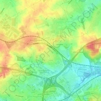
Name: Zellik topographic map, elevation, terrain.
Average elevation: 184 ft
Minimum elevation: 92 ft
Maximum elevation: 285 ft
Er was in Zellik een kareelwerk rond de periode 1930, genaamd Briqueterie de Zellick, gelegen aan het hoogtepunt.