
Sorbiers topographic map
Interactive map
Click on the map to display elevation.
About this map
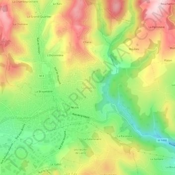
Name: Sorbiers topographic map, elevation, terrain.
Average elevation: 1,808 ft
Minimum elevation: 1,345 ft
Maximum elevation: 2,310 ft
La superficie de la commune est de 12,19 km2 ; son altitude varie de 435 à 822 mètres.