
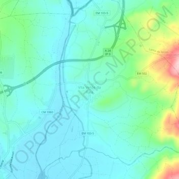
Vila Verde da Raia topographic map
Interactive map
Click on the map to display elevation.
About this map
Name: Vila Verde da Raia topographic map, elevation, terrain.
Location: Vila Verde da Raia, Chaves, Vila Real, 5400-805, Portugal (41.77075 -7.44292 41.81075 -7.40292)
Average elevation: 1,289 ft
Minimum elevation: 1,142 ft
Maximum elevation: 1,824 ft