
Al Bustan topographic map
Interactive map
Click on the map to display elevation.
About this map
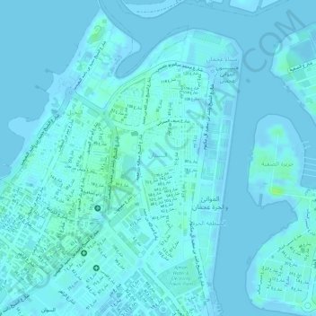
Name: Al Bustan topographic map, elevation, terrain.
Location: Al Bustan, Ajman Emirate, 6355, United Arab Emirates (25.40213 55.44309 25.42249 55.45335)
Average elevation: 7 ft
Minimum elevation: -16 ft
Maximum elevation: 36 ft
Other topographic maps
Click on a map to view its topography, its elevation and its terrain.
Al Helio
United Arab Emirates > Ajman Emirate
Al Helio, Ajman Emirate, United Arab Emirates
Average elevation: 121 ft
Ajman
United Arab Emirates > Ajman Emirate
Ajman, Ajman Emirate, United Arab Emirates
Average elevation: 39 ft