
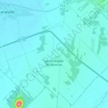
Sainte-Angèle-de-Monnoir topographic map
Interactive map
Click on the map to display elevation.
About this map
Name: Sainte-Angèle-de-Monnoir topographic map, elevation, terrain.
Average elevation: 144 ft
Minimum elevation: 108 ft
Maximum elevation: 771 ft