
Ulfborg topographic map
Interactive map
Click on the map to display elevation.
About this map
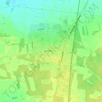
Name: Ulfborg topographic map, elevation, terrain.
Location: Ulfborg, Holstebro Municipality, Central Denmark Region, Denmark (56.26438 8.30321 56.27869 8.32603)
Average elevation: 46 ft
Minimum elevation: 7 ft
Maximum elevation: 75 ft