
The Meadows North topographic map
Interactive map
Click on the map to display elevation.
About this map
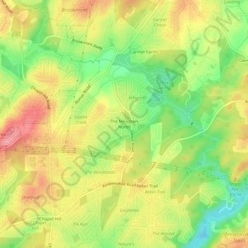
Name: The Meadows North topographic map, elevation, terrain.
Location: The Meadows North, Douglas County, Georgia, 30135, USA (33.68233 -84.72160 33.72233 -84.68160)
Average elevation: 955 ft
Minimum elevation: 778 ft
Maximum elevation: 1,112 ft