
Tigers topographic map
Interactive map
Click on the map to display elevation.
About this map
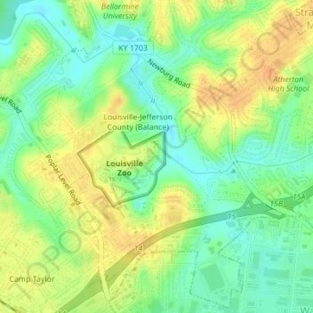
Name: Tigers topographic map, elevation, terrain.
Location: Tigers, Louisville, Jefferson County, Kentucky, USA (38.20591 -85.70210 38.20639 -85.70159)
Average elevation: 509 ft
Minimum elevation: 453 ft
Maximum elevation: 561 ft