
Gurdaha topographic map
Interactive map
Click on the map to display elevation.
About this map
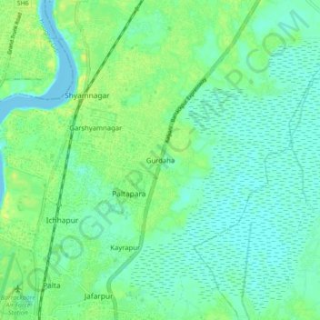
Name: Gurdaha topographic map, elevation, terrain.
Location: Gurdaha, North 24 Parganas, West Bengal, 743144, India (22.77379 88.36194 22.85379 88.44194)
Average elevation: 23 ft
Minimum elevation: -10 ft
Maximum elevation: 62 ft