
Seine River topographic map
Interactive map
Click on the map to display elevation.
About this map
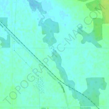
Name: Seine River topographic map, elevation, terrain.
Location: Seine River, Manitoba, R0A 0W0, Canadá (49.50000 -96.47265 49.50220 -96.47090)
Average elevation: 935 ft
Minimum elevation: 922 ft
Maximum elevation: 965 ft
Other topographic maps
Click on a map to view its topography, its elevation and its terrain.
Fort Rouge–East Fort Garry
Fort Rouge–East Fort Garry, Winnipeg, Manitoba, Canadá
Average elevation: 768 ft