
Bryce topographic map
Interactive map
Click on the map to display elevation.
About this map
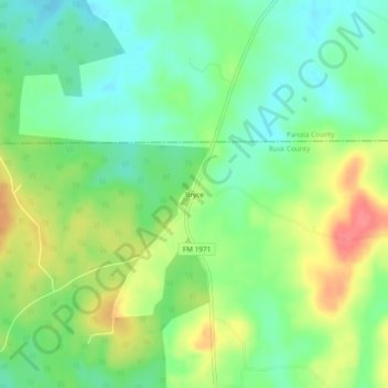
Name: Bryce topographic map, elevation, terrain.
Location: Bryce, Rusk County, Texas, USA (31.94822 -94.56048 31.98822 -94.52048)
Average elevation: 420 ft
Minimum elevation: 331 ft
Maximum elevation: 554 ft