
Lac de Ghiarge Rosse topographic map
Interactive map
Click on the map to display elevation.
About this map
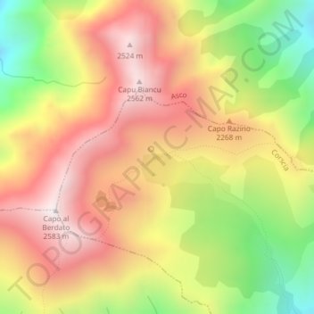
Name: Lac de Ghiarge Rosse topographic map, elevation, terrain.
Average elevation: 6,965 ft
Minimum elevation: 5,167 ft
Maximum elevation: 8,419 ft