
Jagüita topographic map
Interactive map
Click on the map to display elevation.
About this map
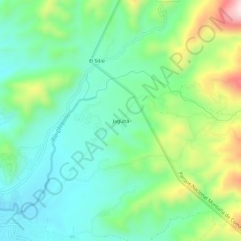
Name: Jagüita topographic map, elevation, terrain.
Location: Jagüita, Comayagua, Honduras (14.45424 -87.63120 14.49424 -87.59120)
Average elevation: 2,356 ft
Minimum elevation: 1,929 ft
Maximum elevation: 3,356 ft