
Pueblo Castillos topographic map
Interactive map
Click on the map to display elevation.
About this map
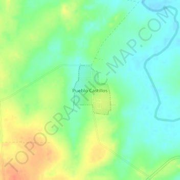
Name: Pueblo Castillos topographic map, elevation, terrain.
Location: Pueblo Castillos, Soriano, 70100, Uruguay (-33.85352 -57.75085 -33.84608 -57.74411)
Average elevation: 269 ft
Minimum elevation: 210 ft
Maximum elevation: 354 ft