Geolocate

Campaka topographic map

Click on the map to display elevation.

About this map

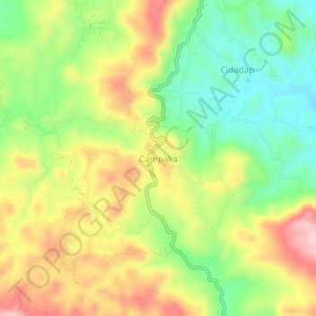
Name: Campaka topographic map, elevation, terrain.

Location: Campaka, Cianjur, West Java, Java, Indonesia (-7.06150 107.10954 -7.02150 107.14954)

Average elevation: 3,514 ft

Minimum elevation: 3,163 ft

Maximum elevation: 3,930 ft

Other topographic maps

Click on a map to view its topography, its elevation and its terrain.

Kertamukti

Indonesia > West Java > Cianjur

Average elevation: 82 ft

Wangunjaya

Indonesia > West Java > Cianjur

Average elevation: 56 ft

Alun Alun Suryakancana

Indonesia > West Java > Cianjur

Average elevation: 8,425 ft

Sindangbarang

Indonesia > West Java > Cianjur

Average elevation: 486 ft

Gear up for your next adventure:

🧭Hiking Compass - Precision compass for reliable navigation in the wilderness
💧Water Filtration Bottles - Safely drink from streams and lakes while exploring
🔭Compact Binoculars - HD vision for scouting terrain and identifying distant landmarks
📦Gear Storage Bags - Organize and protect outdoor equipment
🎒Trekking Poles - Sturdy poles for balance and stability on rough terrain

As an Amazon Associate, this site earns from qualifying purchases at no extra cost to you.