
Maihue topographic map
Interactive map
Click on the map to display elevation.
About this map
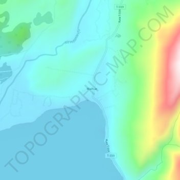
Name: Maihue topographic map, elevation, terrain.
Location: Maihue, Provincia de Ranco, Región de Los Ríos, Chile (-40.27005 -72.03212 -40.23005 -71.99212)
Average elevation: 728 ft
Minimum elevation: 272 ft
Maximum elevation: 2,618 ft