Geolocate

Sector 37D topographic map

Click on the map to display elevation.

About this map

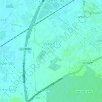
Name: Sector 37D topographic map, elevation, terrain.

Location: Sector 37D, Gurgaon, Gurugram District, Haryana, India (28.42999 76.96024 28.46156 76.98422)

Average elevation: 712 ft

Minimum elevation: 702 ft

Maximum elevation: 728 ft

Gear up for your next adventure:

Backpacking Tents - Weight-optimized shelters for multi-day topographic surveys
🧴Hand Sanitizer - Keep hands clean while hiking
📷Action Cameras - Rugged cameras to document your journeys across rugged terrain
🚪Portable Camp Chair - Foldable chair for comfort at camp
❄️Traction Cleats - Prevent slips on icy trails during winter hikes

As an Amazon Associate, this site earns from qualifying purchases at no extra cost to you.