
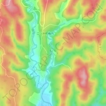
柾山 topographic map
Interactive map
Click on the map to display elevation.
About this map
Name: 柾山 topographic map, elevation, terrain.
Location: 柾山, Noshiro, Akita Prefecture, Japan (40.26258 140.19374 40.27778 140.20006)
Average elevation: 377 ft
Minimum elevation: 131 ft
Maximum elevation: 600 ft