
Aadorp topographic map
Interactive map
Click on the map to display elevation.
About this map
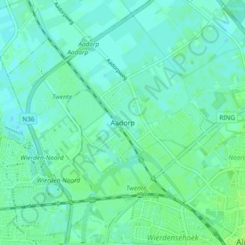
Name: Aadorp topographic map, elevation, terrain.
Location: Aadorp, Overijssel, Nederland, 7611, Nederland (52.35588 6.60960 52.39588 6.64960)
Average elevation: 36 ft
Minimum elevation: 23 ft
Maximum elevation: 52 ft