
Artena topographic map
Interactive map
Click on the map to display elevation.
About this map
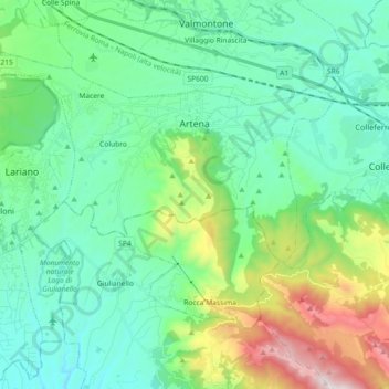
Name: Artena topographic map, elevation, terrain.
Location: Artena, Roma Capitale, 00031, Italia (41.66478 12.79585 41.76945 12.97804)
Average elevation: 1,286 ft
Minimum elevation: 377 ft
Maximum elevation: 4,255 ft