
Koumala topographic map
Interactive map
Click on the map to display elevation.
About this map
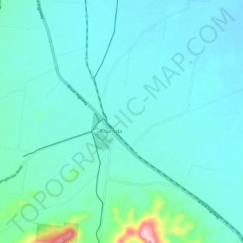
Name: Koumala topographic map, elevation, terrain.
Location: Koumala, Queensland, Australia (-21.64564 149.21041 -21.56564 149.29041)
Average elevation: 125 ft
Minimum elevation: 7 ft
Maximum elevation: 958 ft