
Flag Park topographic map
Interactive map
Click on the map to display elevation.
About this map
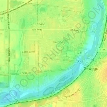
Name: Flag Park topographic map, elevation, terrain.
Location: Flag Park, Oswego, Kendall County, Illinois, USA (41.68696 -88.36622 41.68749 -88.36334)
Average elevation: 643 ft
Minimum elevation: 597 ft
Maximum elevation: 676 ft