
Icla topographic map
Interactive map
Click on the map to display elevation.
About this map
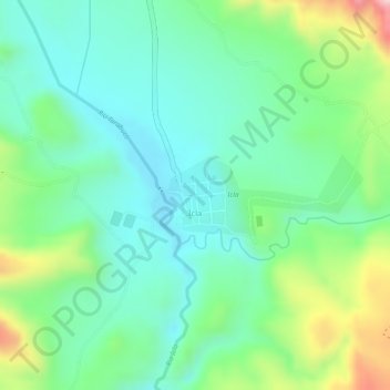
Name: Icla topographic map, elevation, terrain.
Location: Icla, Provincia Jaime Zudáñez, Chuquisaca, Bolivia (-19.36522 -64.79487 -19.35956 -64.78050)
Average elevation: 7,943 ft
Minimum elevation: 7,667 ft
Maximum elevation: 8,537 ft