
Trou au Salpêtre (Grottes de Han) topographic map
Interactive map
Click on the map to display elevation.
About this map
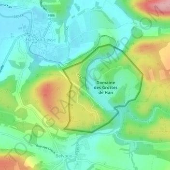
Name: Trou au Salpêtre (Grottes de Han) topographic map, elevation, terrain.
Average elevation: 650 ft
Minimum elevation: 492 ft
Maximum elevation: 991 ft