
Le Kram topographic map
Interactive map
Click on the map to display elevation.
About this map
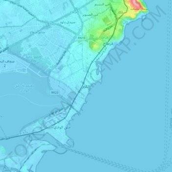
Name: Le Kram topographic map, elevation, terrain.
Location: Le Kram, Gouvernorat Tunis, 2025, Tunisie (36.79483 10.27815 36.87483 10.35815)
Average elevation: 13 ft
Minimum elevation: -23 ft
Maximum elevation: 404 ft