
Madrisahorn topographic map
Interactive map
Click on the map to display elevation.
About this map
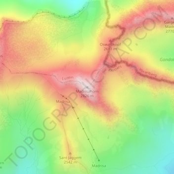
Name: Madrisahorn topographic map, elevation, terrain.
Location: Madrisahorn, Luzein, Prättigau/Davos, Grigioni, 7252, Svizzera (46.93106 9.87217 46.93116 9.87227)
Average elevation: 7,982 ft
Minimum elevation: 6,781 ft
Maximum elevation: 9,177 ft
Other topographic maps
Click on a map to view its topography, its elevation and its terrain.