
Good Enough topographic map
Interactive map
Click on the map to display elevation.
About this map
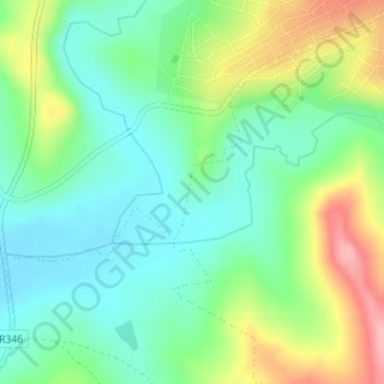
Name: Good Enough topographic map, elevation, terrain.
Average elevation: 1,601 ft
Minimum elevation: 1,453 ft
Maximum elevation: 1,886 ft
Other topographic maps
Click on a map to view its topography, its elevation and its terrain.
Keiskammahoek
South Africa > Eastern Cape > Amathole District Municipality > Amahlathi Local Municipality
Keiskammahoek, Amahlathi Local Municipality, Amathole District Municipality, Eastern Cape, 5670, South Africa
Average elevation: 2,195 ft