
Benito Juárez topographic map
Interactive map
Click on the map to display elevation.
About this map
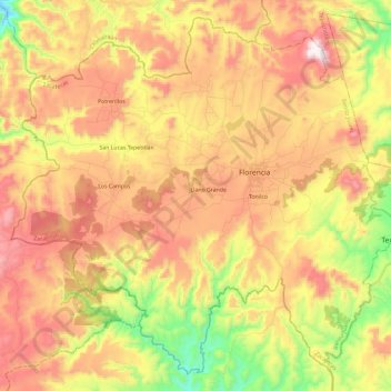
Name: Benito Juárez topographic map, elevation, terrain.
Location: Benito Juárez, Zacatecas, México (21.39091 -103.70146 21.59035 -103.46673)
Average elevation: 6,877 ft
Minimum elevation: 5,492 ft
Maximum elevation: 8,136 ft