
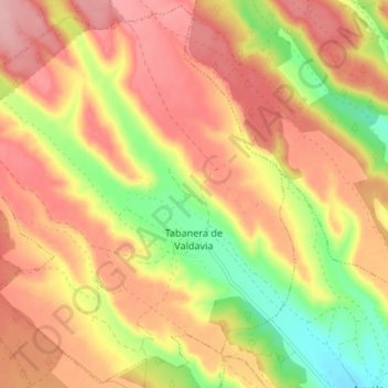
Tabanera de Valdavia topographic map
Interactive map
Click on the map to display elevation.
About this map
Name: Tabanera de Valdavia topographic map, elevation, terrain.
Location: Tabanera de Valdavia, Palencia, Castilla y León, España (42.62720 -4.74764 42.67995 -4.67430)
Average elevation: 3,383 ft
Minimum elevation: 3,110 ft
Maximum elevation: 3,576 ft