
kotgaon topographic map
Interactive map
Click on the map to display elevation.
About this map
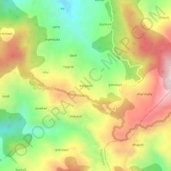
Name: kotgaon topographic map, elevation, terrain.
Location: kotgaon, Ghingartola, Bageshwar, Uttarakhand, 263619, India (29.81392 79.83975 29.85392 79.87975)
Average elevation: 5,052 ft
Minimum elevation: 3,789 ft
Maximum elevation: 6,430 ft