
Acquaseria topographic map
Interactive map
Click on the map to display elevation.
About this map
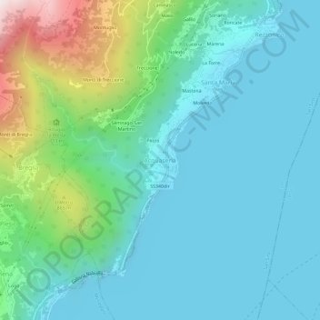
Name: Acquaseria topographic map, elevation, terrain.
Location: Acquaseria, San Siro, Como, Lombardei, 22010, Italien (46.03434 9.23761 46.07434 9.27761)
Average elevation: 1,450 ft
Minimum elevation: 614 ft
Maximum elevation: 4,721 ft
Other topographic maps
Click on a map to view its topography, its elevation and its terrain.