
Wernberg topographic map
Interactive map
Click on the map to display elevation.
About this map
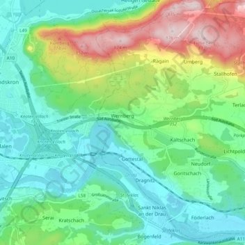
Name: Wernberg topographic map, elevation, terrain.
Location: Wernberg, Bezirk Villach-Land, Carinthia, 9241, Austria (46.59065 13.92195 46.65517 14.00251)
Average elevation: 1,942 ft
Minimum elevation: 1,558 ft
Maximum elevation: 2,871 ft