
Villamiroglio topographic map
Interactive map
Click on the map to display elevation.
About this map
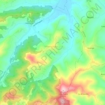
Name: Villamiroglio topographic map, elevation, terrain.
Location: Villamiroglio, Alessandria, Piemonte, Italia (45.11620 8.13437 45.14894 8.18666)
Average elevation: 810 ft
Minimum elevation: 505 ft
Maximum elevation: 1,391 ft