
Pígara topographic map
Interactive map
Click on the map to display elevation.
About this map
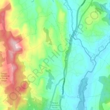
Name: Pígara topographic map, elevation, terrain.
Location: Pígara, Guitiriz, Tierra Chá, Lugo, Galicia, 27372, España (43.19185 -7.78688 43.24728 -7.68938)
Average elevation: 1,575 ft
Minimum elevation: 1,289 ft
Maximum elevation: 2,215 ft
Other topographic maps
Click on a map to view its topography, its elevation and its terrain.