
Platja de s'Illeta topographic map
Interactive map
Click on the map to display elevation.
About this map
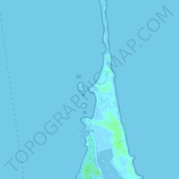
Name: Platja de s'Illeta topographic map, elevation, terrain.
Location: Platja de s'Illeta, Formentera, Balearen, Spanje (38.74903 1.43186 38.75822 1.43646)
Average elevation: 0 ft
Minimum elevation: -7 ft
Maximum elevation: 23 ft
Other topographic maps
Click on a map to view its topography, its elevation and its terrain.