
Al Lahun topographic map
Interactive map
Click on the map to display elevation.
About this map
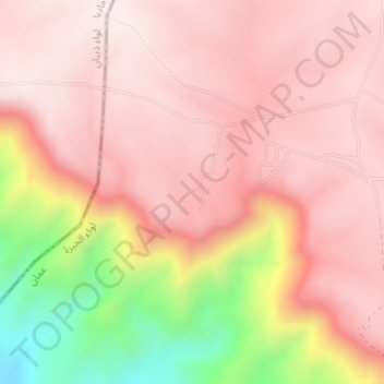
Name: Al Lahun topographic map, elevation, terrain.
Location: Al Lahun, King's Highway, الموجب, Madaba, Jordan (31.46164 35.84744 31.46174 35.84754)
Average elevation: 2,073 ft
Minimum elevation: 843 ft
Maximum elevation: 2,572 ft