Geolocate

Kaplan topographic map

Click on the map to display elevation.

About this map

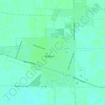
Name: Kaplan topographic map, elevation, terrain.

Location: Kaplan, Vermilion Parish, Louisiana, United States (29.98489 -92.30942 30.02408 -92.26582)

Average elevation: 16 ft

Minimum elevation: 3 ft

Maximum elevation: 26 ft

Vermilion Parish trails, hiking, mountain biking, running and outdoor activities

Other topographic maps

Click on a map to view its topography, its elevation and its terrain.

Gear up for your next adventure:

🌄Hiking Binoculars - Compact binoculars for scenic views and trail spotting
🛠️Outdoor Gear Repair Kit - Essential tools to fix gear on the trail
🧢Outdoor Hiking Hat - Sun protection hat for outdoor explorers
🪵Folding Camp Saw - Compact saw for wood and campsite work
👟Men's Trail Runners - Lightweight footwear for fast-paced exploration and light hiking

As an Amazon Associate, this site earns from qualifying purchases at no extra cost to you.