
Gunung Jerai topographic map
Interactive map
Click on the map to display elevation.
About this map
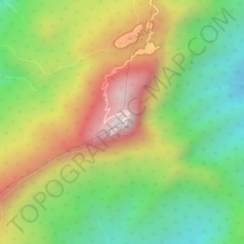
Name: Gunung Jerai topographic map, elevation, terrain.
Location: Gunung Jerai, Kuala Muda, Kedah, Malaysia (5.78722 100.43432 5.78732 100.43442)
Average elevation: 2,625 ft
Minimum elevation: 1,558 ft
Maximum elevation: 3,835 ft
Other topographic maps
Click on a map to view its topography, its elevation and its terrain.
Sungai Layar Hujung
Malaysia > Kedah > Sungai Petani
Sungai Layar Hujung, Sungai Petani, Kuala Muda, Kedah, Malaysia
Average elevation: 13 ft
Sungai Layar
Malaysia > Kedah > Sungai Petani
Sungai Layar, Sungai Petani, K Muda, Kedah, Malaysia
Average elevation: 13 ft