
Mokohinau Islands topographic map
Interactive map
Click on the map to display elevation.
About this map
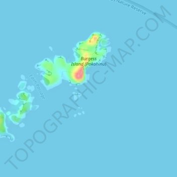
Name: Mokohinau Islands topographic map, elevation, terrain.
Average elevation: 7 ft
Minimum elevation: -3 ft
Maximum elevation: 295 ft
Other topographic maps
Click on a map to view its topography, its elevation and its terrain.
Claris
New Zealand > Auckland > Aotea Great Barrier
Claris, Aotea Great Barrier, Auckland, 0991, New Zealand
Average elevation: 75 ft