
Province of Angaraes topographic map
Interactive map
Click on the map to display elevation.
About this map
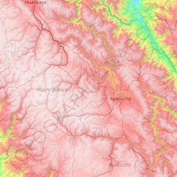
Name: Province of Angaraes topographic map, elevation, terrain.
Average elevation: 14,173 ft
Minimum elevation: 13,084 ft
Maximum elevation: 14,925 ft